About a year ago, my good friend Shirin suggested using this summer for an expedition somewhere exciting, with Nepal top of the list. Unfortunately a combination of logistical issues piled up to make a multi-week long haul expedition look like it was no longer an option. A little over a month ago, weighing up options across Europe, we booked flights to Marrakech and bought a map and guidebook for one of the most challenging 6 day treks within a short-haul flight of the UK.
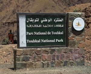
Toubkal is Morocco’s and North Africa’s highest mountain and without a doubt the focus for most groups visiting the Toubkal National park in the High Atlas Region – a visit to the 4164m summit can be attempted in a brisk (but potentially altitude sickness inducing) 48hr round trip from Marrakesh.
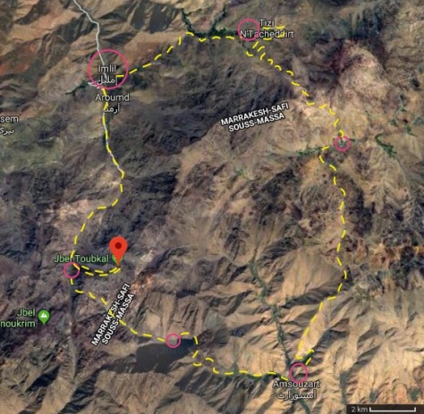
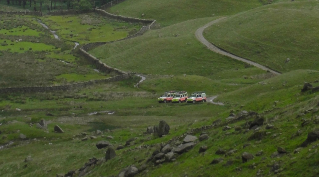
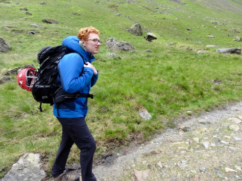
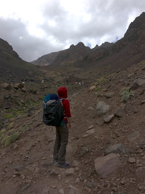
Myself and Shirin took the road less trod, taking a 6 day clockwise route through five settlements divided by four passes finishing with a Toubkal summit ascent. Many sources on trekking in the area recommend traveling with both a guide and muleteer (to cook and carry food and equipment). This is undoubtably the comfort option, but we were confident enough in our skills and equipment to feel safe moving independently and found information online about others who had happily done the same as us. Indeed, the majority of the small number of groups we came across on the circuit were without a guide, although many had a sturdy mule to lug heavy trekking packs. As we discovered however our option is not for the fainthearted or inexperienced.
Arrival
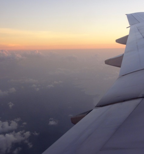
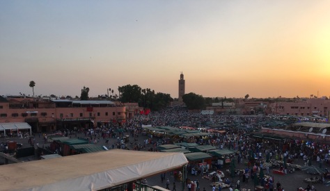
The first 24hrs of the trip were a whirlwind. We took an afternoon flight from Manchester, arriving a little late in Casablanca resulting in a mad dash through the airport to get our connection which was boarding as we arrived at the gait. After a 50 minute hop to Marrakesh we spent a further three hours queuing in immigration, miraculously found our luggage had also made it to the plane and eventually arrived at our accommodation an inner city Riad (essentially an upmarket B&B in a traditional courtyard house) in the Medina of the city at around 1am. We took an early breakfast (up at 0730) before finding a bank that opened early to exchange our cash to Dirhams as we’d read there were no ATMs on the route. After booking another Riad for our return we jumped in a taxi after a bit of bartering booked out a whole one for 300Dh and headed to the hills.
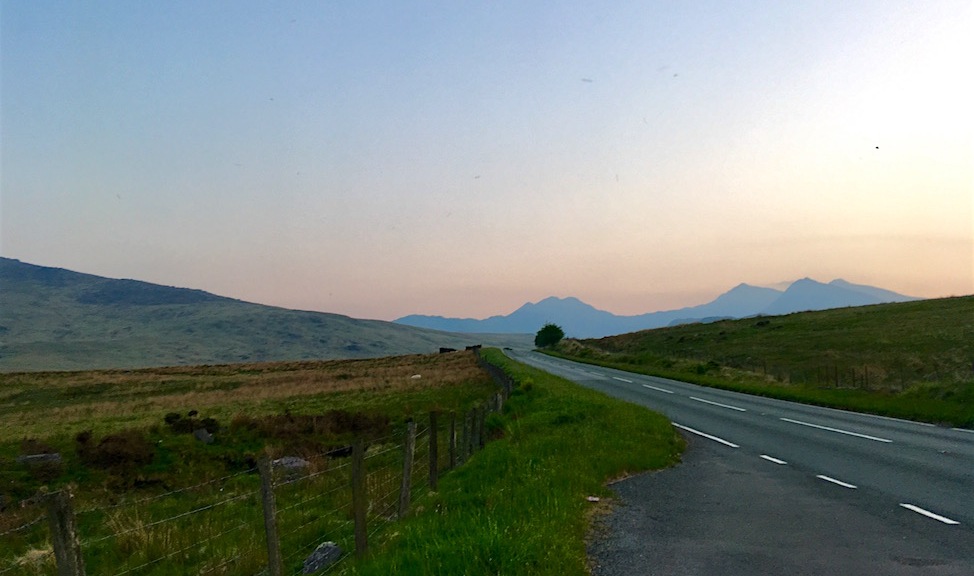
Imlil to Tacheddirt
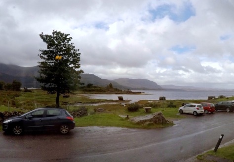
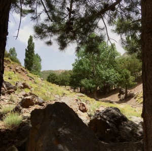
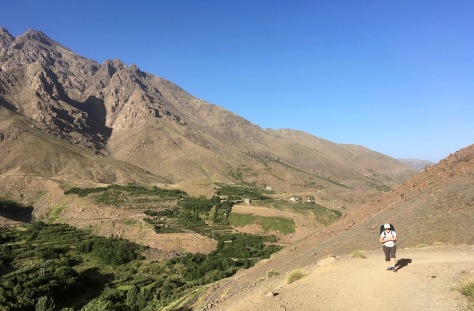
Imlil (1740m) is a busy trailhead 2.5hrs from Marrakesh that is starting to develop its trekking economy. Some visitors go there simply to escape the heat of Marrakesh, but the small equipment shops are springing up and there are plenty of hikers about. We stopped briefly for a cold drink before setting out eastwards along a dusty road to Tacheddirt.
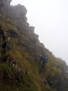
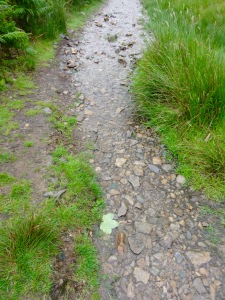
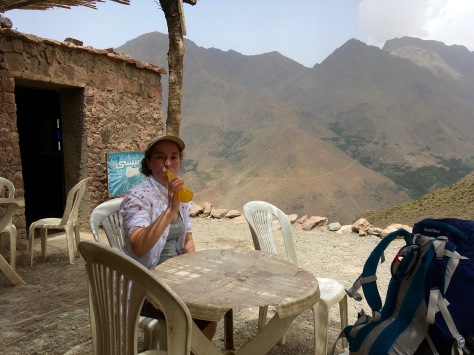
It didn’t take long for us to discover that our 1:50000 Cordee map was a bit vague to say the least. The road and path headed vaguely in the direction the map suggested but as they were the only path and road and you could see one from another we had no issues following them up through sheltered groves to trees to Tizi n’Tamatert (2279m) . Tizi simply means pass in the local Berber language and this one had a simple Azib (which seems to translate as settlement) selling cold drinks and orange juice which was exceptionally welcome.
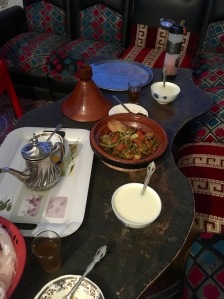
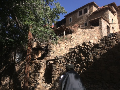
After a drink and a little rest we travelled the valley along for what felt like a very long way until we were directed by some locals down a footpath towards the village of Tacheddirt where we hoped to spent the night in a Gite. After bumping into an enthusiastic local with a bit of french we were pointed towards a Gite where for a reasonable price we got three hot meals and a comfortable although be it basic room to stay in.
It turned out we were actually in the village of Ouanesekra which had clearly developed significantly since the area had beens surveyed and was now fairly confluent with the larger settlement of Tacheddirt. Never the less we had some very traditional food including the first of our many vegetable tagines and something which seemed to be a couscous based rice pudding type dish (introduced to use by our host as a “sauce” and as a result I caused much merriment to our host by spooning it all over a pile of my veggies).
Tacheddirt to Azib Likemt
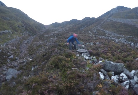
An early morning start took us up the valley to Tacheddirt and we began the long steep ascent of the Tizi Likemt (3555m) pass. Although only 6km on the map, it was extremely hard work tackling the altitude and the scree with a 13kg pack (food, water, tent etc) – I did 30,000 steps this day (which equates to about 18km according to my phone).
The day was a race against the clouds as we knew by about 2pm there would likely be thunder so we pushed ourselves hard, making the summit just minutes before the first roll of thunder.
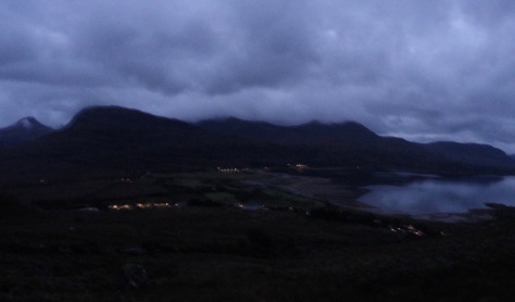
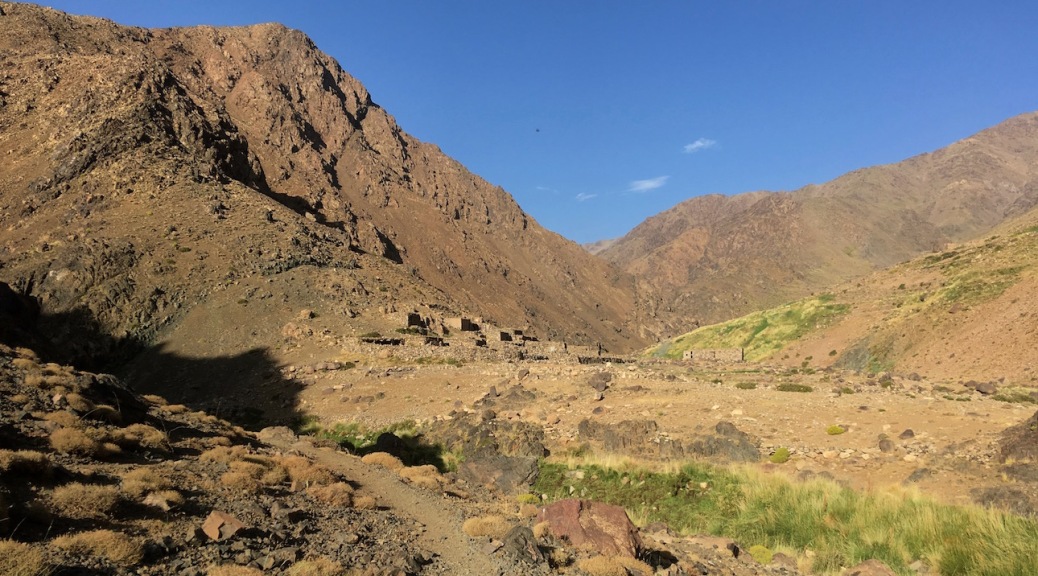
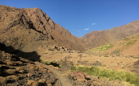
We raced away downhill from the storm, eventually stopping for a bit of bread (our staple for the week) and some water half way down. We were alerted to the presence of another person on the hills by some shouting and arm waving beckoning us over and spotted a shepherd making a fire a little way across hill. Although he had virtually no English or French and we had no Berber or Arabic he invited us to join him for a cup of hot “Berber Whiskey” – sweetened tea made with mint from the mountains heated in a pot over an open fire and he shared some bread with us and we some fruit and nuts with him. We had a very enjoyable 20 minutes or so communicating about his flock, the food and his village, Azib Likemt before heading down to the valley where we were to camp that night.
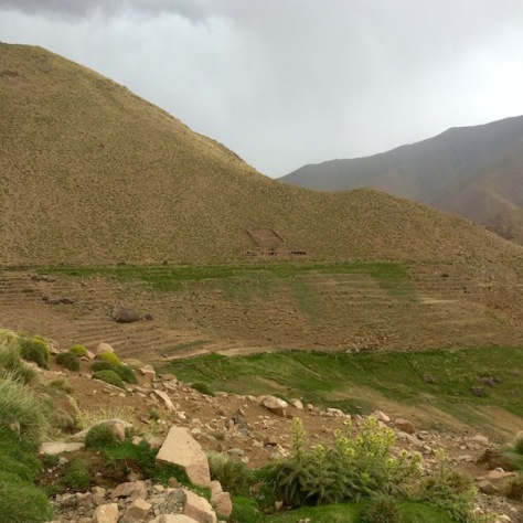
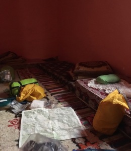
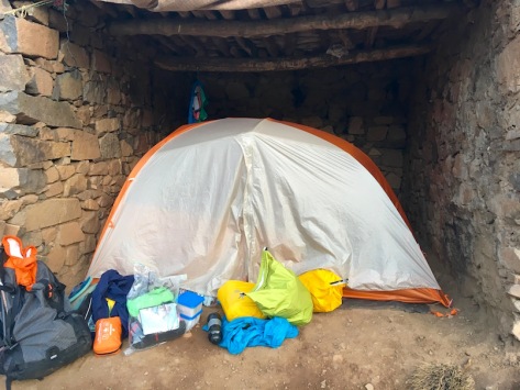
We wild camped just on the outskirts of the village although after we were pitched up for a few hours we stuck our head outside the tent to experience the displeasure of the local matriarch who after much gesticulating indicated that we were camped in the middle of the grazing area she used for cows (“ooh lets pitch up on this nice grassy area, it will be comfortable”). After a bit more gesticulating both parties concluded we could stay camped if we paid to camp which we were very happy to do. Azib Likemt was the only settlement without good road access in the area and it superficially at least appeared significantly less wealthy than the others in the area.
Azib Likemt to Amsouzerte
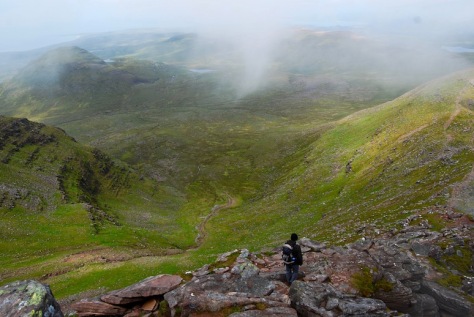
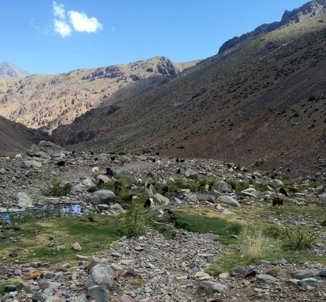
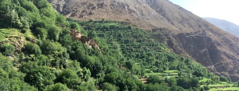
This day was probably my favourite in terms of scenery and enjoyment. It was the right length, temperature and not too miserably steep. The path through the Assif n’Tinzer Valley weaved across the stream keeping it cool and comfortable as shepherds herded their flocks up to pasture while others returned from Amsourzert with mules recently unburdened from trading. Everyone was friendly wishing each other a “Bonjour et ça-va?”.
Cuteness winner of the holiday goes to the young mother riding a mule across to Amsouzert with her twins in each panier.
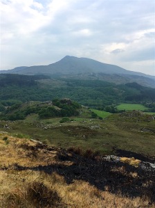
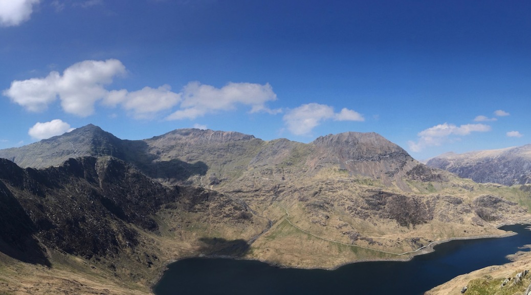
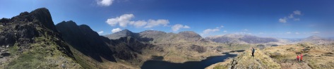
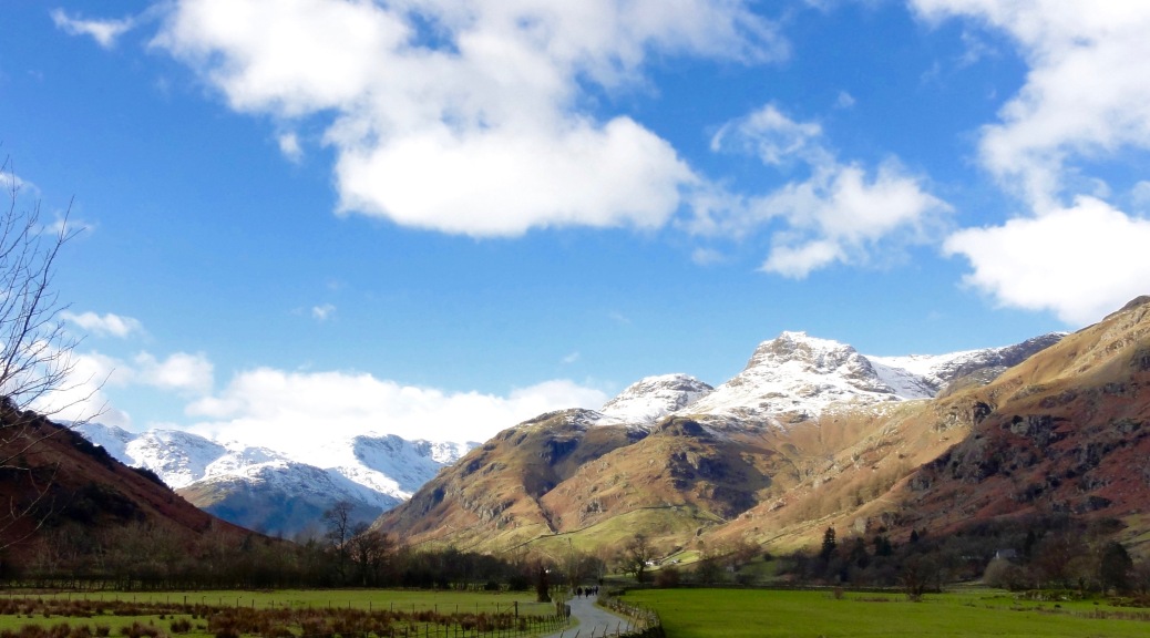
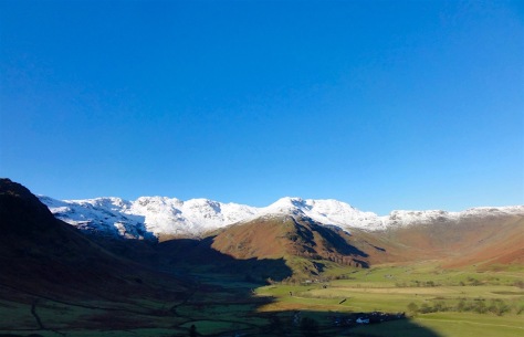
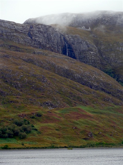
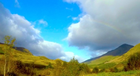
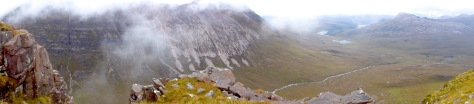
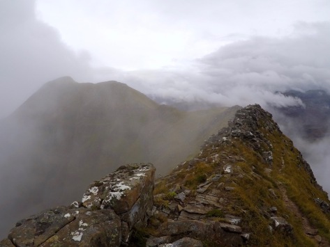
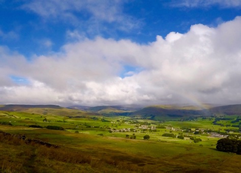
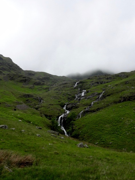
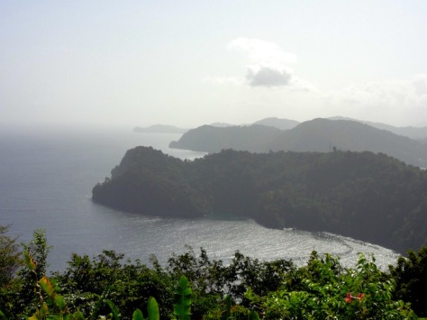
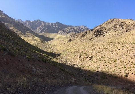
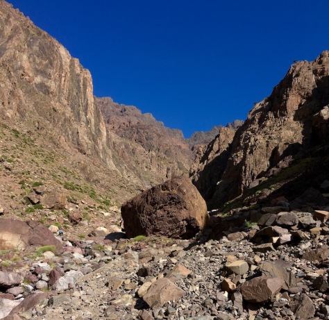
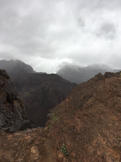
As the valley turned we began to climb more sharply, ascending to the Tizi n’Ououraine pass. We passed a couple of french walkers here who told us the view from the top was fantastic and we were not disappointed.
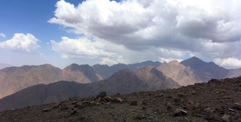
The prominent peak at the right of the photo is Toubkal, still some 1000m higher than we were at this pass. Following this we had a long, dusty and wet descent to the village of Tagounite which has recently got its own road.
Feeling like the Pied Piper of Hamilton we attracted the attention we attracted the attention of a gaggle of about 10 of the villages’ girls as we walked along – they spoke good french or at least, as good as mine which made them great to practice with! We fielded a lot of questions about where we were from, where we were going, our ear piercings, how old we were, if we had children and so on and they kindly directed us right through the maze of footpaths in the village to the edge of Amsouzerte (1797m) before with much glee yelling “Au Revoir!” multiple times as loud as they could across the valley as we made our way onto the gite for the night.
Amsouzerte to Lac D’Ifni
After a very comfortable night at the Gite of Omar Himmini in Amsouzerte (recommended in the Atlas Trekking Guide) and a re-stock of provisions (i.e. more bread and some crisps) we began a steady but extremely warm walk up the valley to the famous Lac D’Ifni.
I struggled a little on this day, whether due to poor nutritional intake (turns out I loose my appetite at altitude) or the altitude itself finally catching up with me so was very happy to reach the Azib selling cold drinks at the pass over into the Lake.
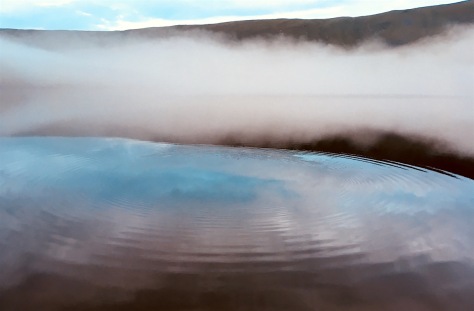
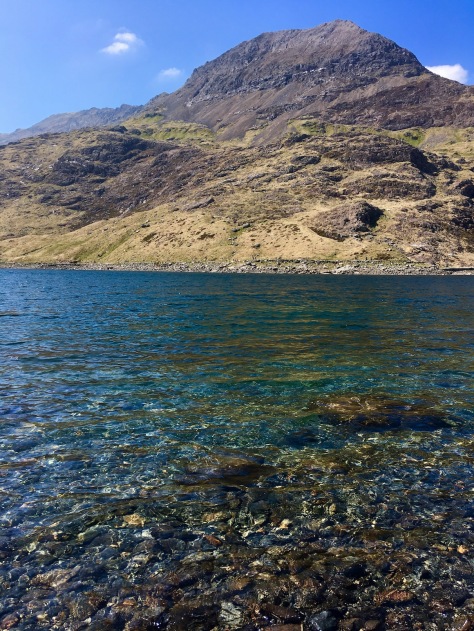
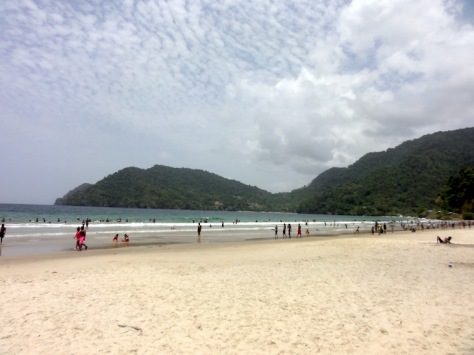
The lake itself has a beautiful blue-green colour and is very clear. It attracts plenty of day trippers as well as swimmers and people just enjoying a day on its beaches.


Sadly the lake is in need of some good facilities. There were a lot of young moroccans camping with no waste disposal facilities, toilets or advice on what visitors should be doing to be responsible leading to huge amounts of unsanitary waste as well as plastic bottles, old sardine cans and so on. Whilst we had an enjoyable time there unless something is done to improve the infrastructure in the next couple of years I suspect it will become a rather less pleasant place to spend a night or two.
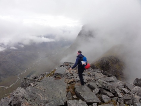
Lac D’Ifni to Refugue Toubkal
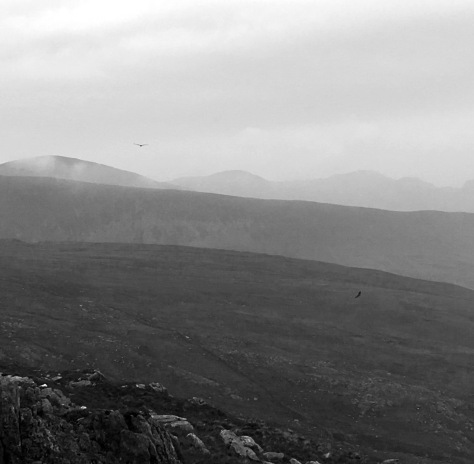
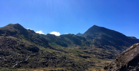
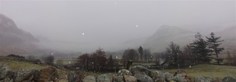
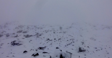
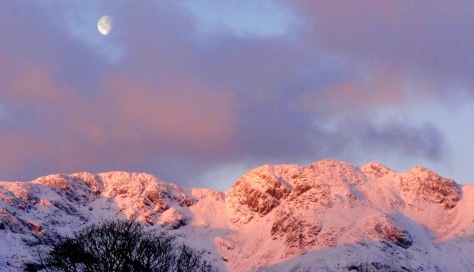
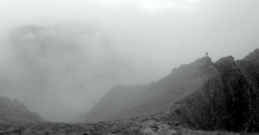
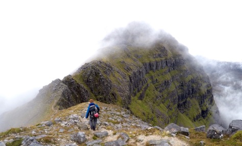
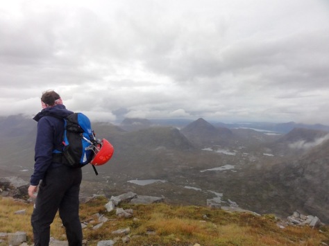
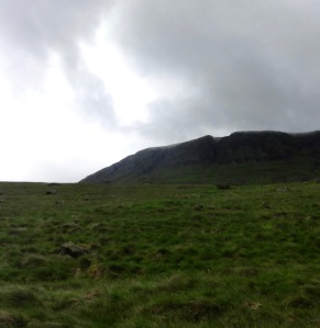
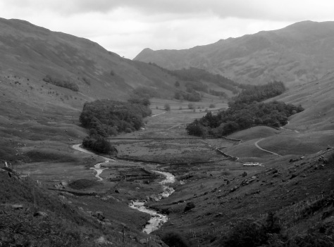
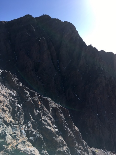
What a marathon this day was – although enjoyable! After the first 30 minutes or so of walking of the day we could see the pass we were headed for, right in the middle of the photo below. Seeing it over 1000m metres above me I was very glad to have taken a dose of Acetazolemide to prevent altitude sickness!
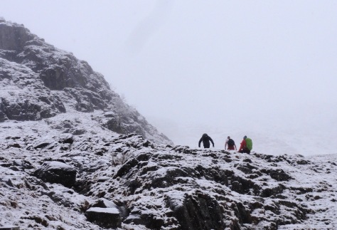
Tizi N’Ouanoums (3684m) got very slowly closer as we passed a lot of groups headed the other way with the support of a mule having a night or two down at Lac D’Ifni.
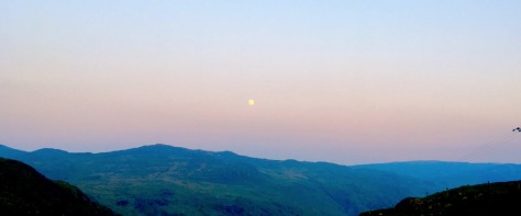
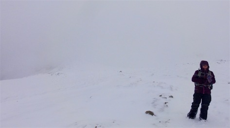
The weather started to turn as we reached the top and I was left shall we say, a little windswept (that and mildly euphoric from getting to the top and the altitude induced hypoxia).
Despite it being august, and 38C in Marrakech, the weather turned quickly in the hills. We had a very large volume of hail followed by rain and got cold pretty quickly on the way down the pass on the other side. The Toubkal path even appeared to have some snow on it from the distance we were at. Being cold and wet we were very glad to arrive at a nice warm mountain lodge within an hour or so of the pass. We settled down for an early night before a 6am start up Toubkal.
Refugue Toubkal (CAF Nelter Shelter) to Marrakech
The refuge let us leave a bag full of kit with them whilst we ascended. Goodbye tent, a change of clothes, food, sleeping bag etc. it felt like walking on air! We needed head torches for about the first 10-15 minutes but the sun was well up before we started tackling the boulder field. The first 300m of the 1000m climb from the refuge are undoubtably the toughest on the legs with several routes through the loose scree-field.
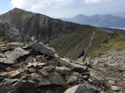
After an hour or thereabouts of climbing we eventually exited the screen onto a better path climbing in the shade which kept it nice and cool.


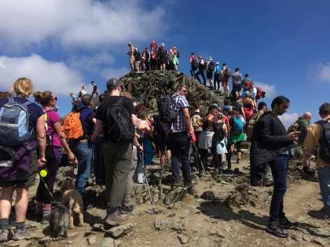
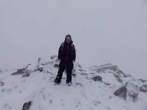
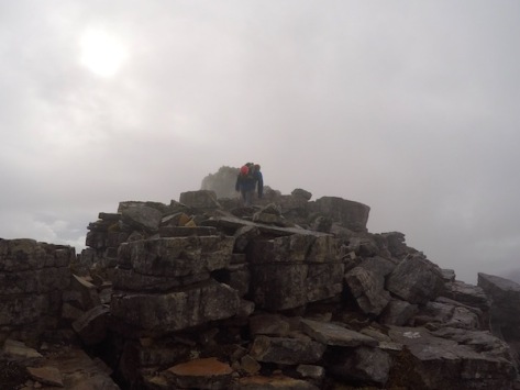
Once we finally made the summit ridge it was a windy but crisp half an hours walk to the summit, marked with a pyramidal metal cone.
The sun was up by the time we reached the summit which allowed us a comfortable 15 minutes or so enjoying some Kendal Mint Cake and chatting to fellow climbers.

The descent to the hut was straightforward although it was not fun re-filling the rucksacks with heavy stuff. Lots of people (with no equipment) and their mules (carrying lots of equipment) overtook us on the scenic path down from the head of the valley – after 6 days we had tired legs!
The descent was pretty and very busy with people. Sadly after about 6km of descent the weather started to falter. For the first 20 minutes we had a few large rain drops which were pleasantly cooling in the heat after which the heavens opened on a biblical scale. Small rocks and clods of turf were being swept up in the water; we were soaked to the skin over the next half an hour. We made our way as fast as our legs could carry our heavy wet rucksacks towards Imlil. On the outskirts of Aroumd some 2km from Imlil a large number of construction workers were packing up their equipment they were using to construct a new mini hydro-dam and racing their diggers and trucks up the hill to Imlil for an unknown reason. We obviously looked pretty miserable because a couple of them took pity on us and suggested we got a lift with them in the back of their pick-up truck along with a local family of 6 and another two wet and miserable british walkers.
On arrival at Imlil we got changed and grabbed a Taxi as fast as we could – discovering on the way out of town part of the new road had been blocked by a landslide (which was why the diggers were shifting to clear it). Our taxi driver took us on the old road which his little car clearly wasn’t set up for but we safely traversed it never-the-less.
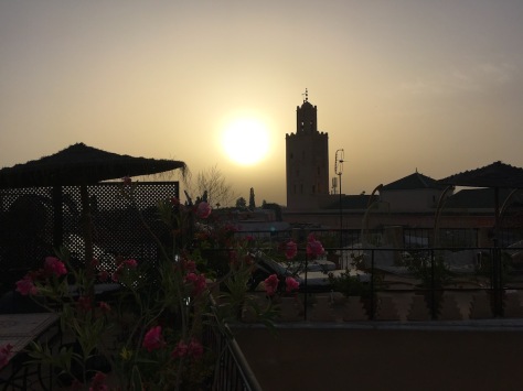
We found our way back to our Riad in Marrakech eventually, and had a relaxed 36hrs eating food which was (mainly) not vegetable tagine, soaking up the atmosphere and sleeping.
I’m glad to be home with the creature comforts and clean water, but it was a fantastic experience in a country with friendly, cheerful people.
If you’re reading this and thinking of doing the same or similar trip I’m more that happy to answer questions, just comment below.